Professional Master of Geospatial Science and Technology
The Professional Master of Geospatial Science and Technology (PMGST) equips current and future geospatial professionals with experience in GIS and location data analysis, for leadership roles in government, industry, and research.
This taught Master’s offers foundational knowledge for those from a diverse range of backgrounds to acquire the knowledge, skills, and industry networks to work effectively in a geospatial environment. It will also provide development opportunities for those already in the industry.
The programme intersects relevant disciplines such as Data Science, Computer Science, and Environmental Science with spatial analysis. Students will gain skills in programming, research analysis, database management, using and applying geospatial technology, and communication.
Campus Information
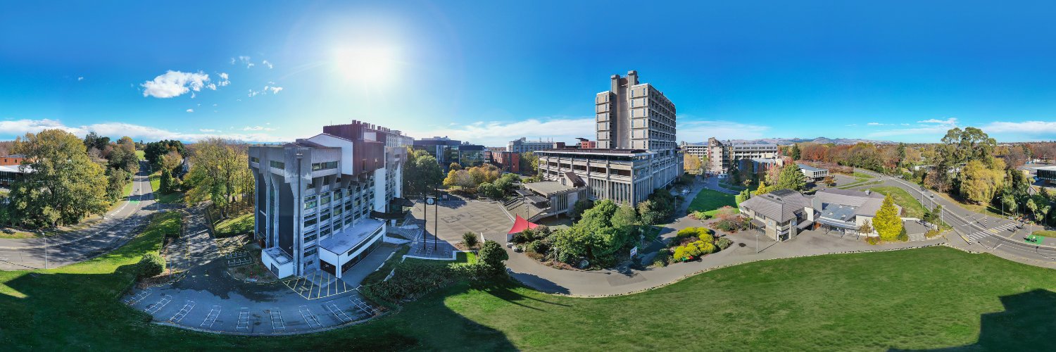
Ilam Campus
The University has a main campus of 76 hectares (190 acres) at Ilam, a suburb of Christchurch about 5 kilometres (3.1 mi) from the centre of the city.
Intakes
- Feb Deadline: Dec
- July Deadline: May
Application Processing Time in Days: 20
Application Process
Minimum English Language Requirements
| English Level Description | IELTS (1.0 -9.0) | TOEFL IBT (0-120) | TOEFL CBT (0-300) | PTE (10-90) | |
|---|---|---|---|---|---|
| Expert | 9 | 120 | 297-300 | 86-90 | |
| Very Good | 8.5 | 115-119 | 280-293 | 83-86 | |
| Very Good | 8 | 110-114 | 270-280 | 79-83 | |
| Good | 7.5 | 102-109 | 253-267 | 73-79 | |
| Good | 7 | 94-101 | 240-253 | 65-73 | |
| Competent | 6.5 | 79-93 | 213-233 | 58-65 | |
| Competent | 6 | 60-78 | 170-210 | 50-58 | |
| Modest | 5.5 | 46-59 | 133-210 | 43-50 | |
| Modest | 5 | 35-45 | 107-133 | 36-43 | |
| Limited | 4 | 32-34 | 97-103 | 30-36 | |
| Extremely Limited | < 4 | < 31 | < 93 | < 30 |
Job Opportunity Potential
The PMGST provides graduates with the problem solving skills and technical knowledge to undertake advanced geospatial roles.
There is currently a geospatial skill shortage in Aotearoa New Zealand, which graduates of this degree will be able to fulfil in a range of different industries, including the private sector, government, and community organisations. Potential roles could be GIS analyst, GIS planner, local government analyst, or geospatial technology developer.
PSW Opportunity
- During study, all students on a student visa can work up to 20 hours per week during semester and full time during vacations.
- After completing Level 7 Bachelor’s Degree or Higher Qualification, a student will get a three years open post-study work visa.
- After completing Level 8 Post Graduate courses of 1 year, students get 1 year PSW.
Admission Requirement / Eligibility Criteria
Academic entry requirements
Students should have achieved at least a B Grade Point Average in 300-level courses in an area which is relevant to Geographic Information Science eg, computer science, environmental science, the digital humanities, or any other relevant subject.
Students without a university degree can apply for entry with at least three years of previous relevant professional experience, assessed and approved by the Academic Dean of Science.
- Course Type: Full Time
- Course Level: Masters/PG Degree
- Duration: 01 Year
-
Total Tuition Fee:
59250 NZD
Annual Cost of Living: 20000 NZD
Application Fee: N/A
Similar Programs
- Master of Writing at University of Canterbury
- Master of Urban Resilience and Renewal at University of Canterbury
- Master of Strategic Communication at University of Canterbury
- Master of Spatial Analysis for Public Health at University of Canterbury
- Master of Science - Geography at University of Canterbury
- Master of Music at University of Canterbury